
View Map of Old Naval Template Online

Info
Online Map of Old Naval Powerpoint Viewer
Description
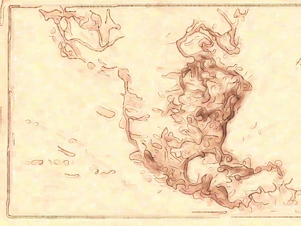
A nautical chart is a graphic representation of a maritime area and adjacent coastal regions. Depending on the scale of the chart, it may show depths of water and heights of land, natural features of the seabed, details of the coastline, navigational hazard.. Map of Old Naval PPT Background and Map of Old Naval Powerpoimt template for your education presentation.
Do you want free powerpoint templates? the right place. Because freeppt site offers you the highest quality of various backgrounds and templates. Category you want to view and templates that you want to be able to download the presentation as appropriate to your project.
Here we provide you all the background, or owned by the founders of the templates and all rights are completely free.
Views: 12662
Added: 2011-09-13 01:18:29
Image Resolution: 1024x768
Map of Old Naval Powerpoint Templates Freeppt is Powerpoint backgrounds and templates for your slide.
Powerpoint Map of Old Naval design presentation samples A nautical chart is a graphic representation of a maritime area and adjacent coastal regions. Depending on the scale of the chart, it may show depths of water and heights of land, natural features of the seabed, details of the coastline, navigational hazard.. Map of Old Naval PPT Background and Map of Old Naval Powerpoimt template for your education presentation.
Rate